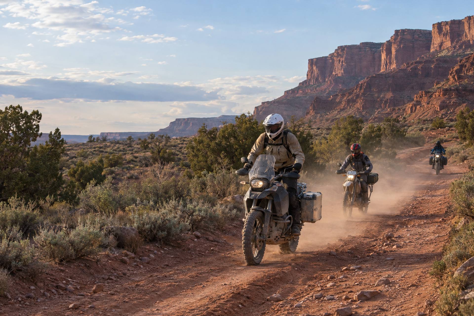
ADV
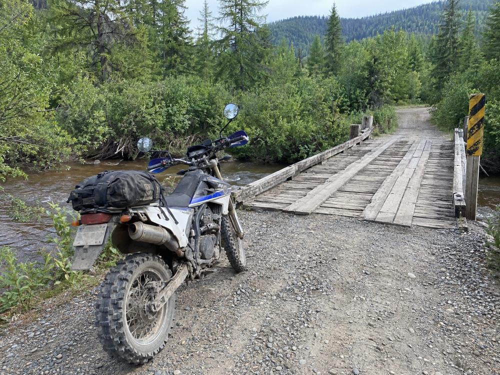
Adventure and dual-sport motorcycles
Plated for the road, so highway-legal-only forest roads and paved connectors into town are open to you.
DirtRecon is a GPS scavenger hunt for ADV motorcycles, ATVs and side-by-sides. Get the coordinates, find your own legal way there on whatever you ride, and take the photo in the app. Earn badges, finish the season, earn gear.
How it works
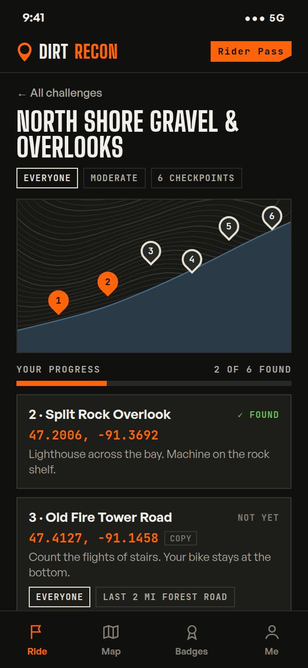
Each challenge is a set of 5 to 8 GPS coordinates, each with a short clue: overlooks, fire towers, creek crossings, trailheads, small-town cafes. Find them in any order, over a weekend or the whole season.
There is no route to follow. Plan your path on roads and trails open to your machine. The app map highlights them for you, or open the coordinates in Gaia GPS, onX or Google Maps.
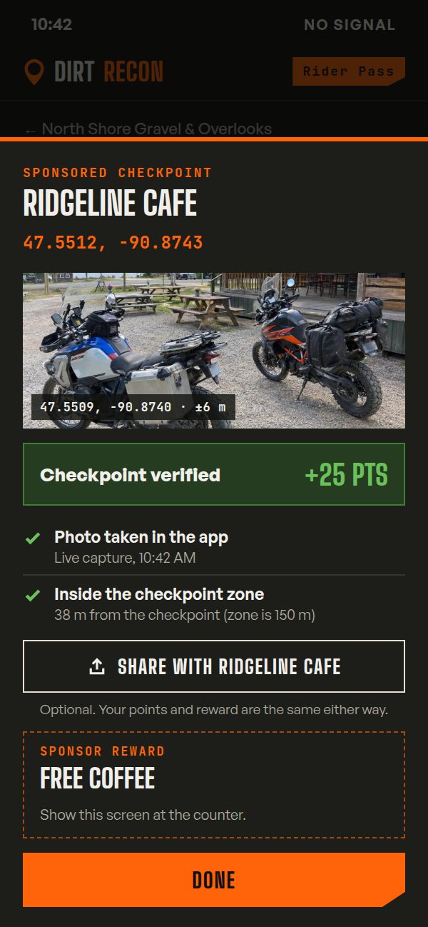
At the checkpoint, take the photo in the app with your bike, ATV or side-by-side and the landmark in frame. The GPS location in the photo proves you were there. No signal? It saves the photo and uploads it when you are back in range.
Verified checkpoints add points, badges and progress. Finish three challenges in a season for the Season Finisher patch, and reach published point levels to earn sponsor gear. No drawings, no luck.
Every machine
ADV bikes, ATVs and side-by-sides ride most of the same gravel forest roads and two-track, but they are not always legal on the same ones. With coordinates instead of a set route, every rider picks a legal way in for their own machine. Same checkpoints, same badges.
Plated for the road, so highway-legal-only forest roads and paved connectors into town are open to you.
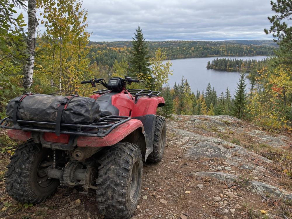
Most ATVs fit 50-inch trails. If yours is not plated, the app map leaves out roads that are closed to you.
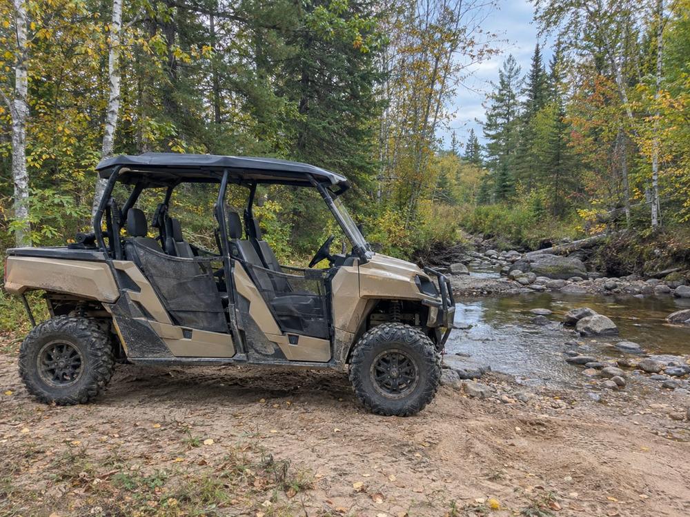
Bring a passenger or the whole crew. The map shows which trails fit your width and, where your state requires plates, which roads you can use.
When you sign up, tell the app what you ride, whether it is plated for the road and whether it is over 50 inches wide. The map highlights the roads and trails open to your machine, and every checkpoint card says which machines can reach it and what the last stretch is like.
Nationwide
Sample challenges from across the country. The checkpoints are still being ridden and checked, so names and locations may change before launch.
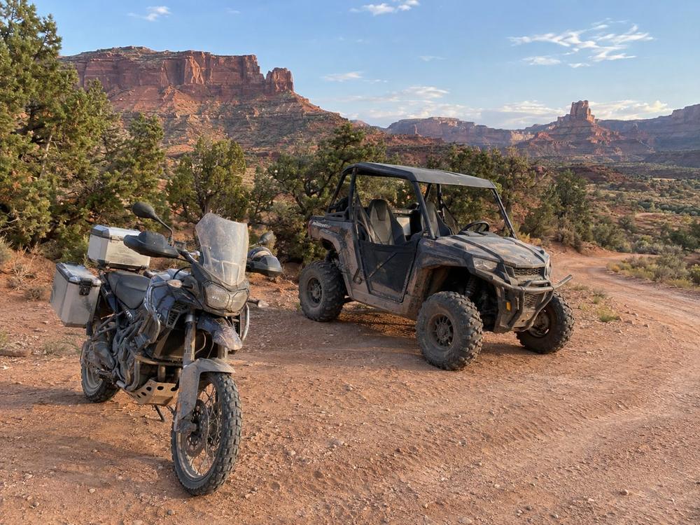
Southern Utah
Eight points among the mesas: slot canyon trailheads, sandstone overlooks and a small-town diner. Every one is reachable by all three machines.
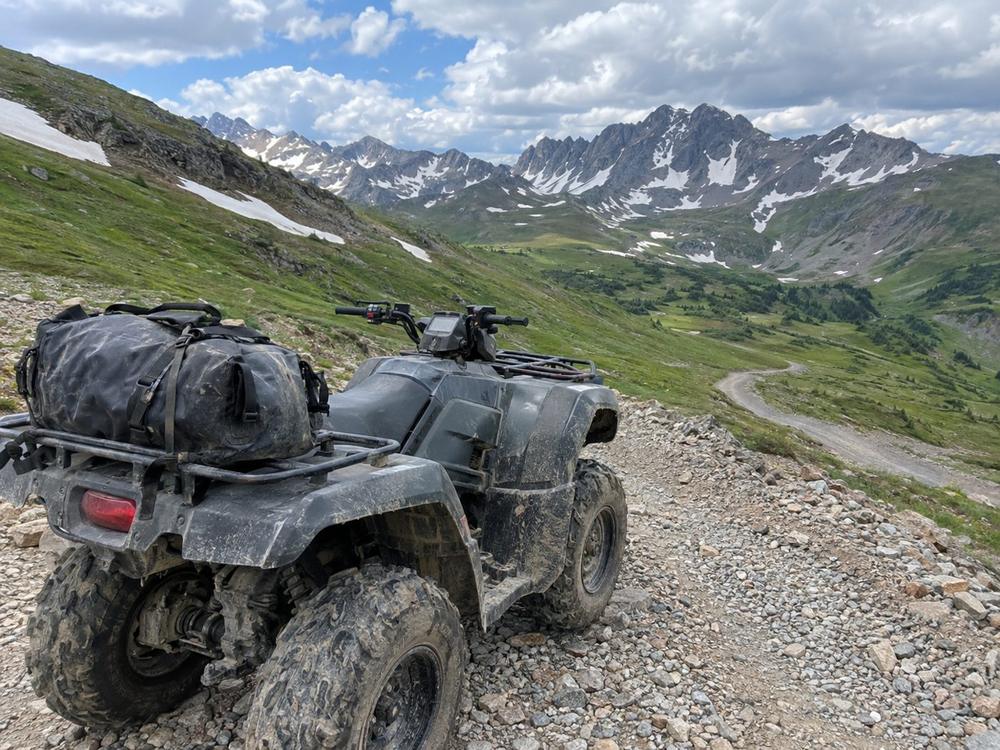
Colorado
Pass summits and old mining camps. One point sits up a narrow shelf road open to bikes and ATVs only.
Minnesota
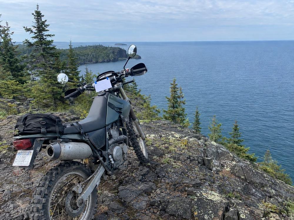
Lake Superior overlooks and fire towers above the shore. Two points sit on roads open to plated machines only.
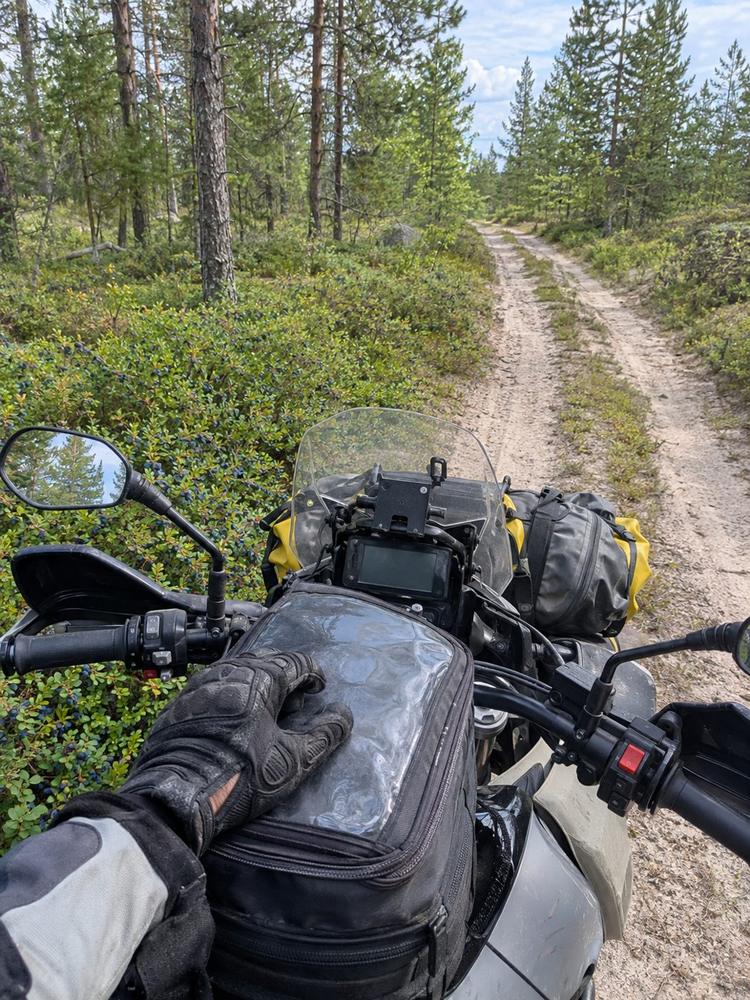
Every launch region
Five easy points near main roads in each launch region, to learn how it works. Free for every rider, on any machine.
Ground rules
Every checkpoint sits on or beside an open road or trail. Access for each machine is checked against Forest Service motor vehicle use maps, BLM travel maps and state OHV and street-legal rules.
Points come from checkpoints, never from time. There is no prize for getting there first, only for getting there.
The best checkpoints are where your phone has no bars. Photos and maps are saved on your phone, and photos upload when you get back in range.
Checkpoint photos are shared with DirtRecon. At a sponsored checkpoint, you decide whether to share yours with the business too. You are credited by name, plates are blurred and your location history is never shared. Read the photo terms.
Pricing
$0
Find the starter checkpoints and see how it works.
$49 per year
Every challenge, points, badges and rewards for the full season.
For cafes, shops, dealers and campgrounds
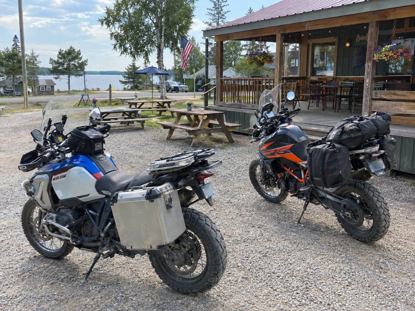
Riders already plan their days around a good stop. Make your business a checkpoint and every rider on that challenge has to find their way to your door, take the photo and stay for lunch.
Ask about a checkpointFAQ
We are building the app now and plan to open the first challenges in several regions for the 2027 riding season, then add more each year. Waitlist riders get first access, including early testing this winter and spring.
Yes. DirtRecon is being built as a native app for iPhone and Android so captures and maps work reliably with no cell signal.
The app takes the photo itself, so it can't be an old one, and records the GPS location with it. If that location is inside the checkpoint zone, the checkpoint counts right away, sponsor stops included. If it is outside the zone or the signal is weak, the app asks you to move closer and retake it before you leave.
No. You get the coordinates and a short clue, and finding the way is the fun part. The app map highlights roads and trails open to your machine, and each checkpoint card says what the last stretch is like. You can also open the coordinates in Gaia GPS, onX or Google Maps.
Every checkpoint photo is shared with DirtRecon, which is part of using the app. At a sponsored checkpoint, you will see a Share button after your check-in. Tap it and that business can use your photo in its marketing. Skip it and nothing goes to the business, and you still get the same points and rewards. We credit you by display name, blur license plates and never share your location history. The Photo-Sharing Terms have the details.
ADV and dual-sport motorcycles, ATVs and side-by-sides, all hunting the same checkpoints. Tell the app whether your machine is plated and whether it is over 50 inches wide, and the map shows the roads and trails open to you and the checkpoints you can reach.
Street-legal rules for ATVs and side-by-sides vary by state, and some forest roads are open to highway-legal vehicles only. The app map accounts for those roads. You still need whatever the state requires, such as registration, an OHV permit or a safety certificate. Each challenge lists the ones we know apply, but posted rules always win.
No. There are no timed or speed rankings. Ride at your own pace, stay on roads and trails that are open to your machine, obey speed limits and closures, and stay within your ability.
Yes. The pass is billed once a year and you can cancel any time before it renews.
Be first to ride the new challenges and help test the app before launch. Add your ZIP so we know where riders want checkpoints first. One email when it is ready, and no spam.
See our Privacy Policy for how we use your email.